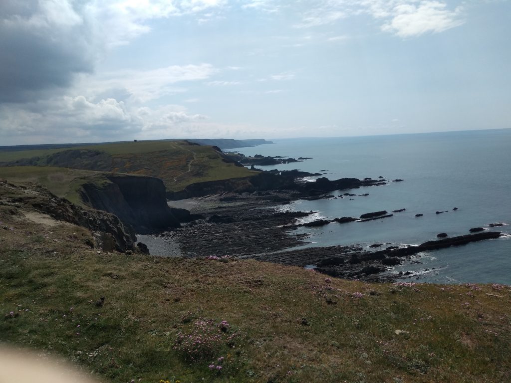
This beautiful North Devon walk from Hartland Quay to Hartland Point is only around five miles long, but it is quite strenuous as there are some steep inclines to overcome. We have walked it at different times of the year, but I think it looks at its best in the spring when the cliffs are covered in pale yellow primroses and pink and white thrift, and the woods are full of bluebells. I prefer circular walks where there is no need to retrace your steps and this one offers magnificent scenery along the entire route. The first part of the walk from the Quay to the Point follows small sunken lanes through woodlands, and from the Point to the Quay the scenery changes dramatically, offering towering windswept cliffs with jagged rocks far below. On windy days it is almost impossible to stand on the cliffs and the walk should be taken on a quieter day.
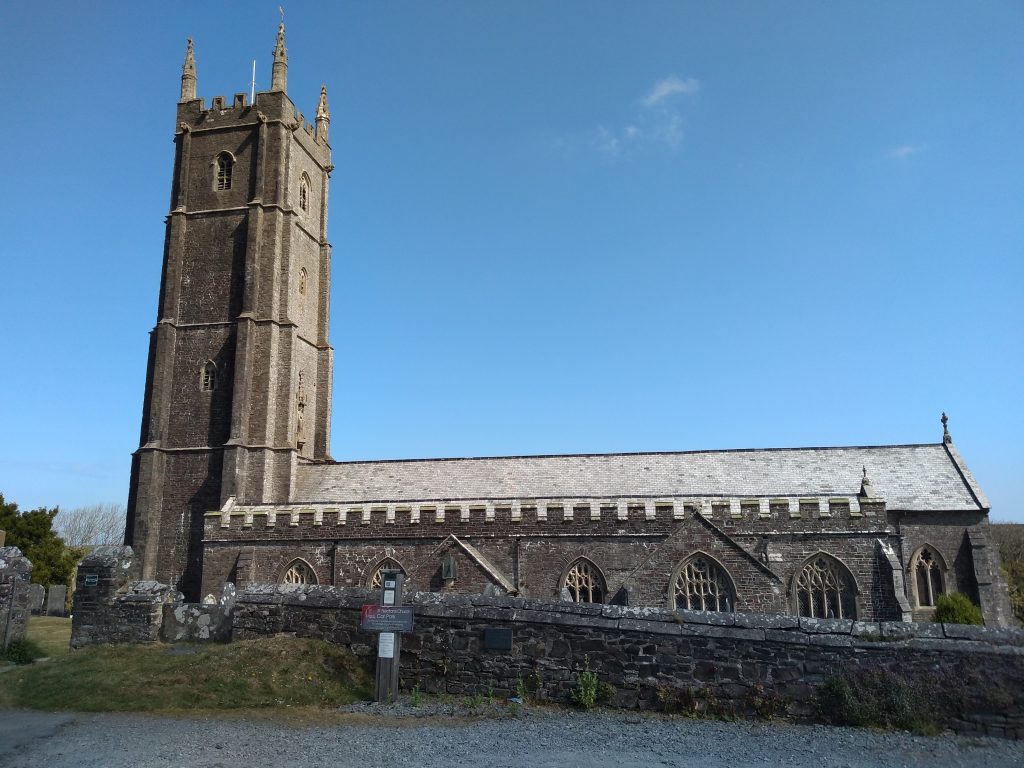
We began our walk from St Nectan’s church. It is a large church with an imposing tower of just under 130 feet and the tallest in the county. It dominates the small hamlet of Stoke and was originally built to serve the needs of Hartland Abbey which lies in the valley below.
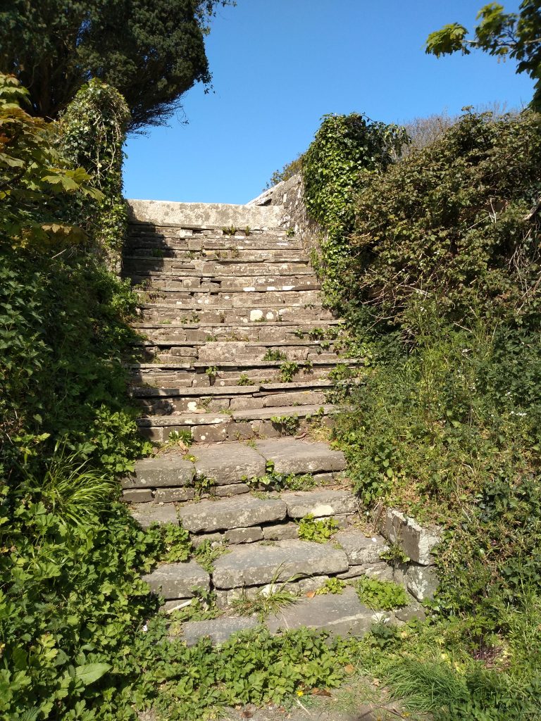
It is worth taking a walk through the graveyard of the church as there are some pretty steps that lead directly into the lane which is the beginning of the walk. There are actually two sets of steps, not far apart and the first ones lead to some toilets. Once in the lane turn left and head downhill.
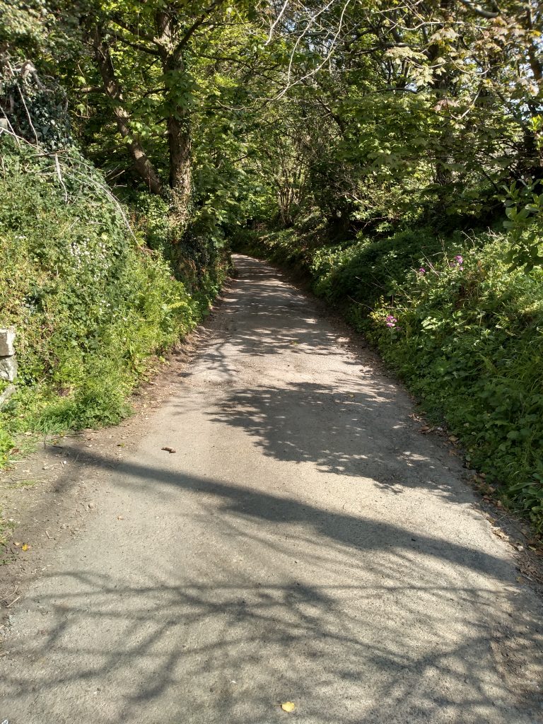
The steps pictured above lead from the churchyard into this lane which descends sharply downhill. It is a pretty area and the hedgerows are full of primroses and bluebells in the spring. Continue down the hill to the bridge at the bottom.
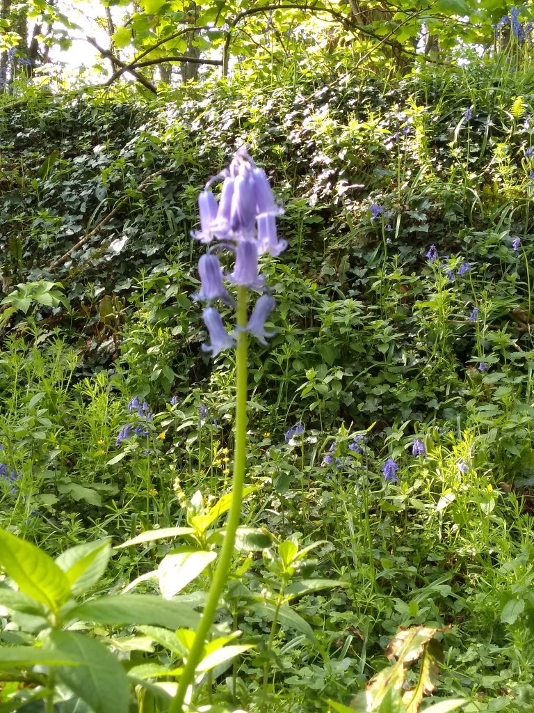
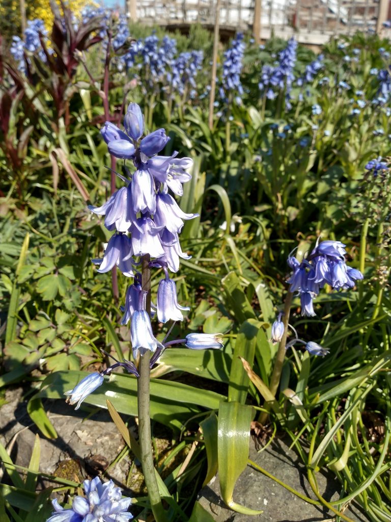
For people like me who are interested in flowers, these pictures show the difference between the English and the French bluebells. The English variety is a brighter blue with smaller bells and is more dainty.
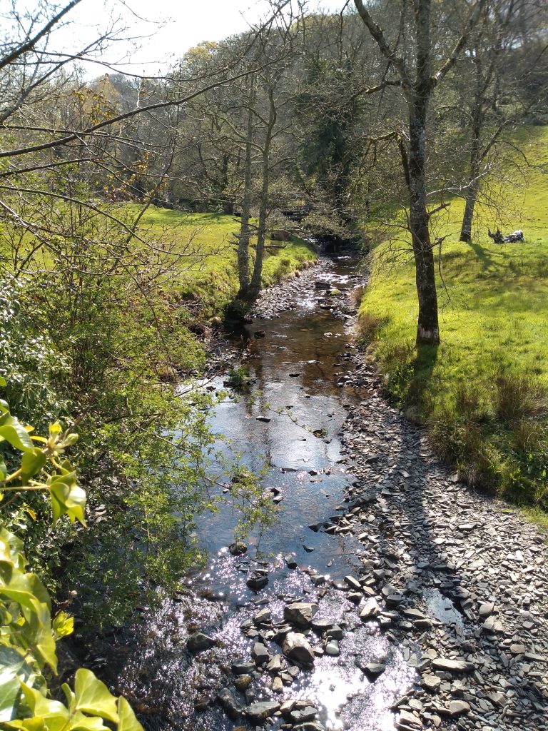
The narrow lane leads to an ancient two arch stone bridge across the Abbey river. In the fields in this area we have often seen black sheep and the strange sound of a peacock shrieking can sometimes be heard. In the distance is Hartland Abbey, the home of the Stucley family. The original abbey was dissolved in 1539 and almost all traces have disappeared. Henry VIII gifted the estate to the keeper of his wine cellar and I have heard that the present owners are his descendants for the property has never been sold.
After crossing the bridge, continue along the lane uphill to Berry Farm. The original part of the farmhouse is very old and pigeon holes can be seen in the walls. Keeping to the road, pass between the farmhouse and buildings and continue to the four-cross way. Cross over and bear right taking the old green track down into the next valley.
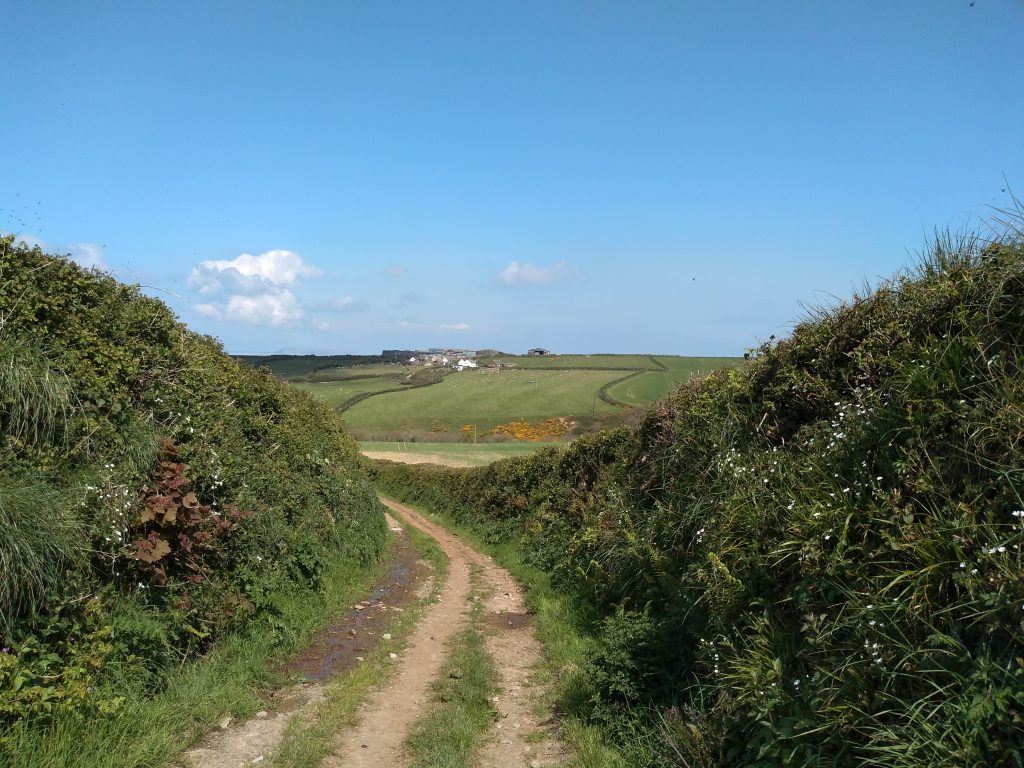
This ancient lane often has overgrown hedges and climbs uphill to Blegberry Farm. There are a couple of areas where it always seems to be muddy underfoot even after a dry spell. Blegberry Farmhouse was built in 1627 and it was fortified during the Civil War when the owner was said to be a Royalist supporter and an unpopular tax collector. The footpath turns to the right by some cottages. Continue up the hill and turn right until another lane is seen off to the left. Turn down this lane which will take you to the valley of Titchberry Water.
From the top of this lane the radar station dome is visible in the distance on the cliffs above Shipload Bay.
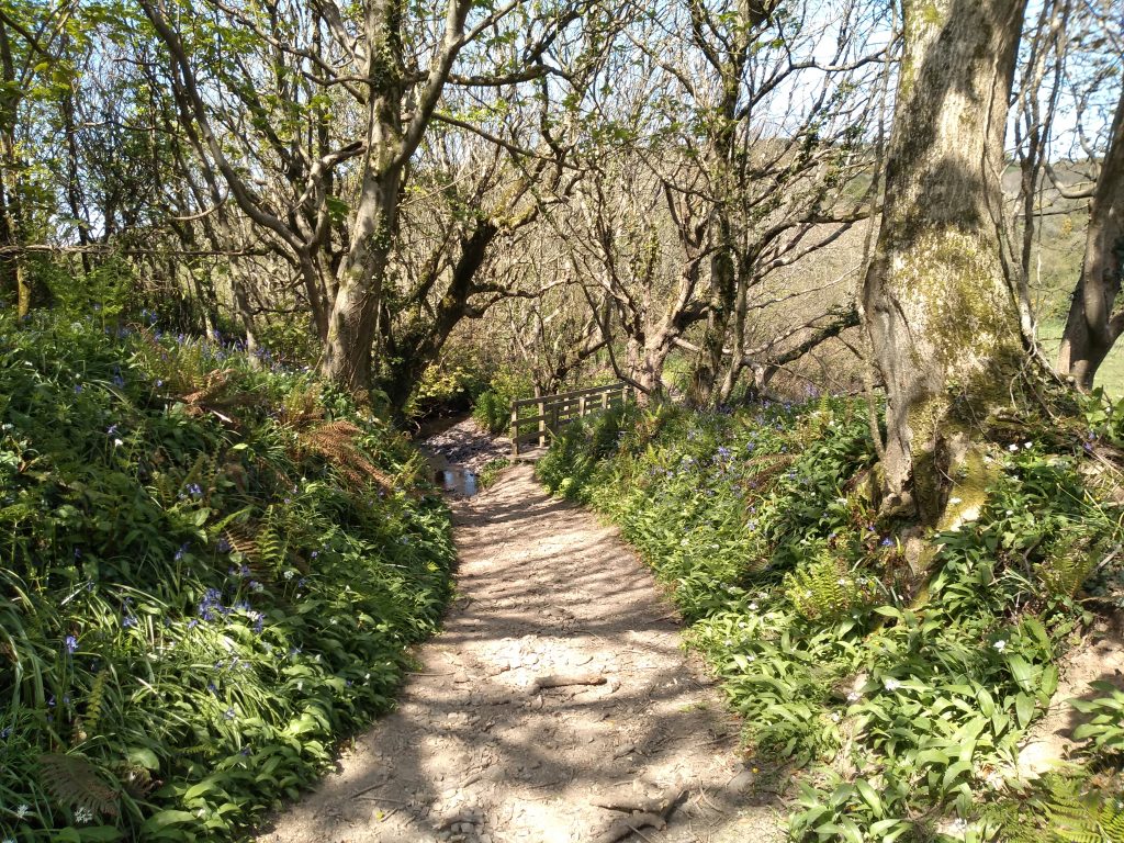
This is a lovely part of the walk which leads to a wooden bridge often surrounded with primroses and daffodils in the spring.
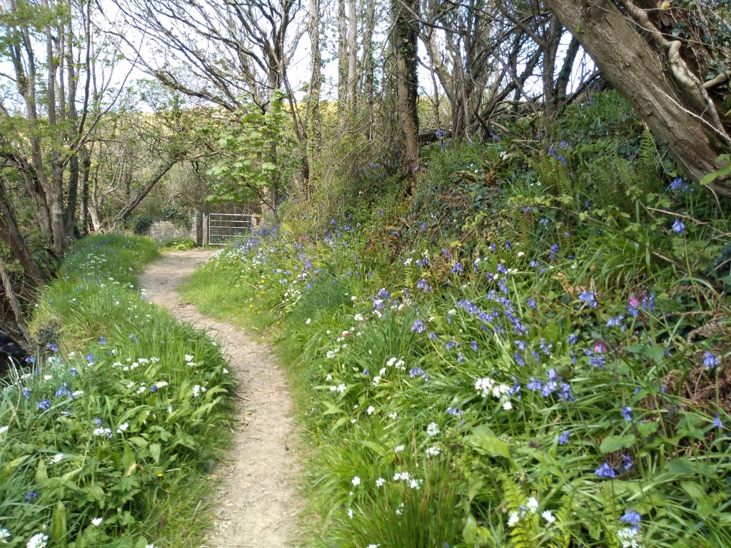
The track, lined with bluebells, follows the stream for a short distance. In May/June time the stream is bordered by wild yellow irises. Go through the gate at the end and crossing a small brook on stepping stones, turn right towards Blagdon Farm. Proceed through the farmyard and over the top, past the Hartland Heliport to Hartland Point car park.
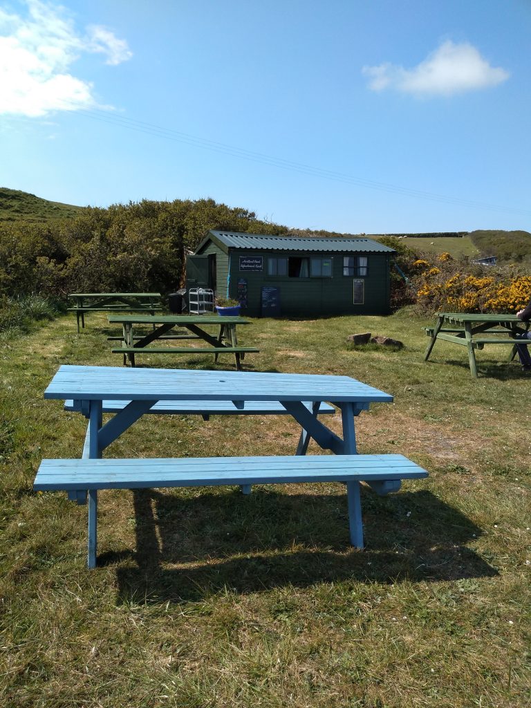
Here you will find a small building which offers an amazing variety of snacks ranging from bacon sandwiches to cakes, cream teas, ice cream and crisps. A welcome chance for a rest and some refreshment. The cafe is only open from May Bank Holiday for the summer. Twice we have arrived at the cafe only to find it will open fully on the next day – a big disappointment.
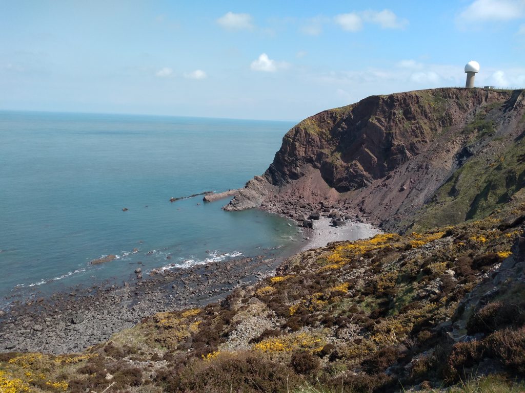
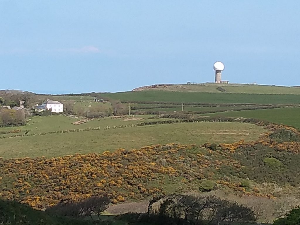
This is the view from the cafe out to sea. The radar dome can be seen in the distance on the cliff top.
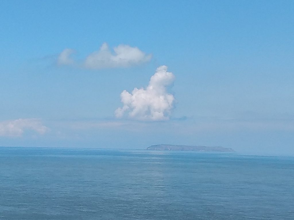
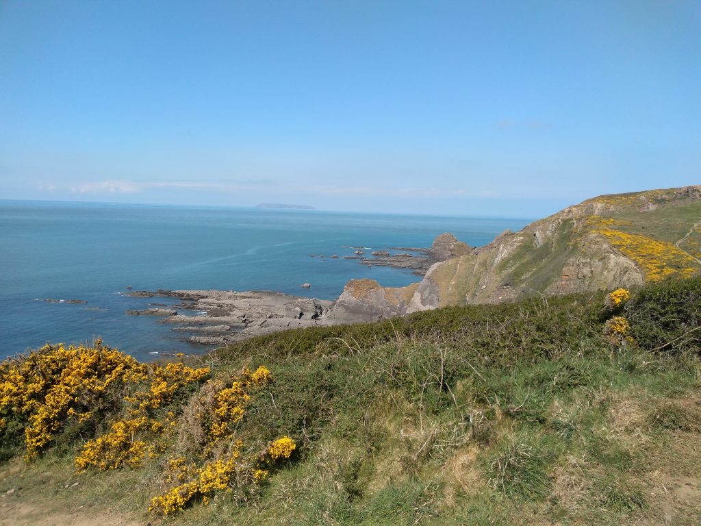
There is a great view of the island of Lundy which is only three miles long and half a mile wide. It lies off the North Devon coast where the Atlantic ocean meets the Bristol Channel and there is nothing between it and America. It is said locally that if you can see Lundy Island it is going to rain, and if you can’t see it – it’s raining already. It is possible to take day trips to the island and even to stay there. I have visited it twice over the years and remember there is a church and an inn and very little else apart from puffins and seals, though we didn’t see either on our visit.
Leaving the car park take the road to the left towards the lighthouse and climb some steps which lead to the coastal lookout. The views from here are extensive with the top of St Nectan’s church tower visible and also the folly ruin above the quay. The lighthouse was first lit in 1874 and is built on a difficult site on dangerous cliffs. However, it is now unmanned.
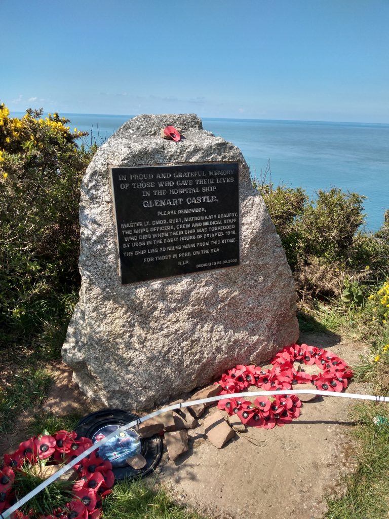
Continue along the coastal path and past a memorial to those who lost their lives on the hospital ship, the “Glenart Castle”. The ship was torpedoed by UC56 in the early hours of 26 February 1918 and lies 20 miles WNW from the stone.
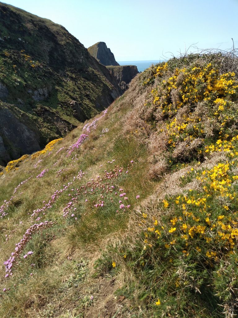
The flowers on the cliffs are beautiful between April and June.
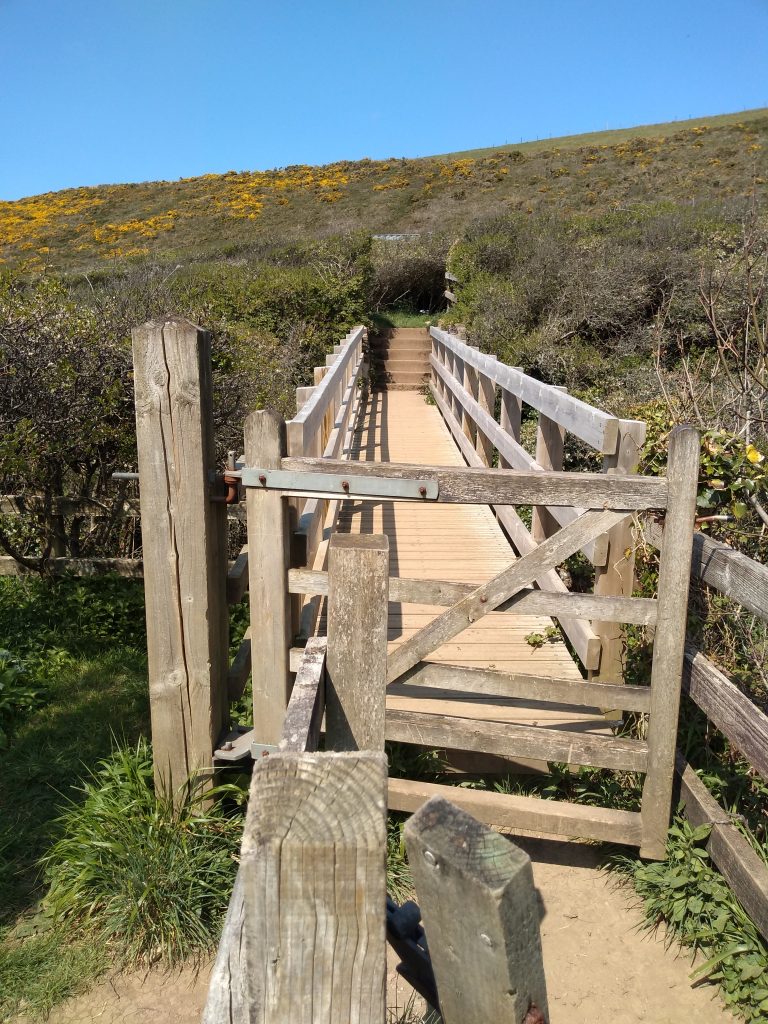
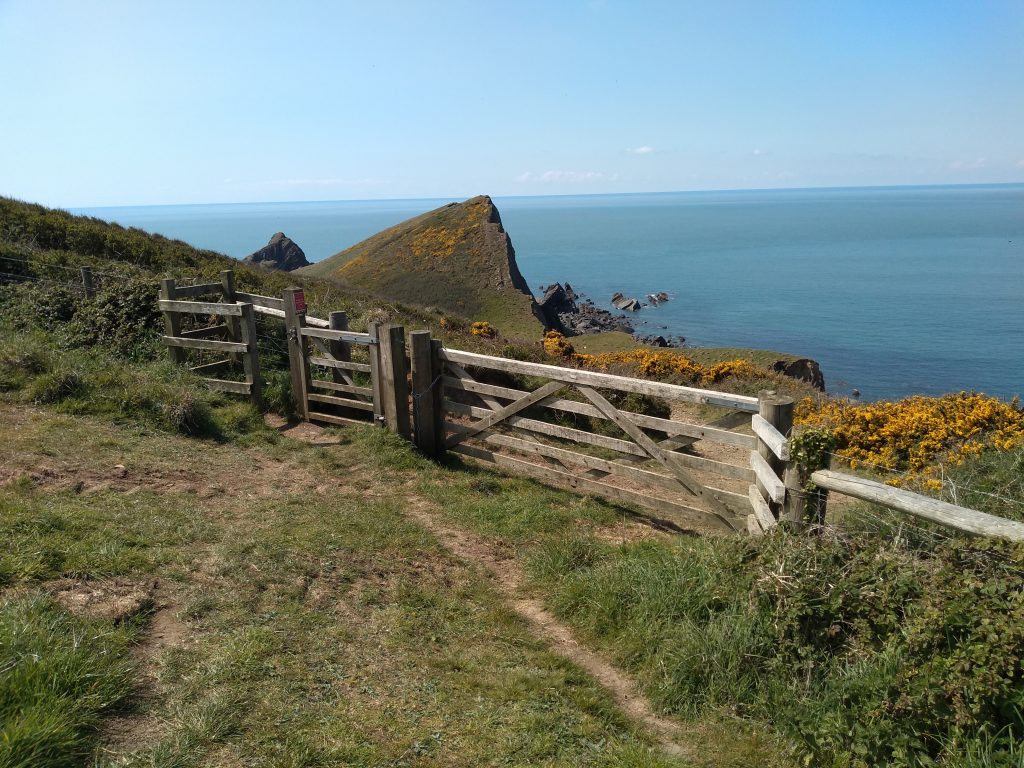
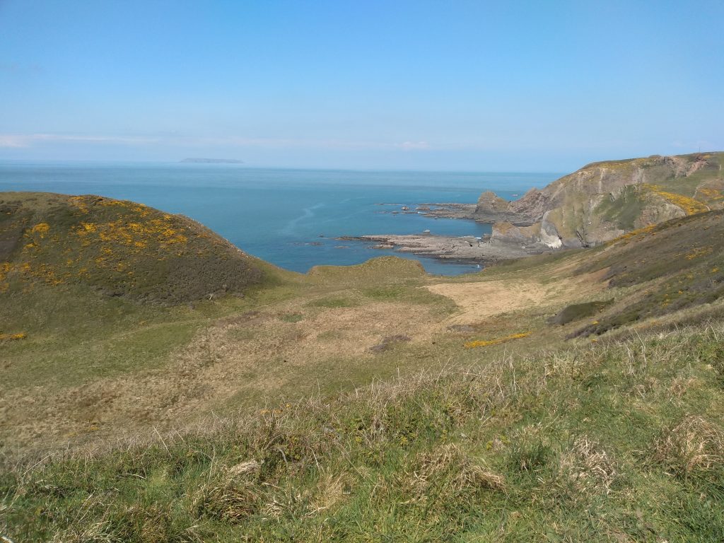
The coast path leaves Blagdon by a wooden bridge close to a caravan and then climbs steeply up the cliff. At the top there is a choice of routes. The walker can either continue around the field above the valley, or descend into Smoothlands, a sea-dissected valley. Apparently it is an excellent example of this geological feature. Originally the stream that now reaches the sea at Blagdon flowed through this valley. The two paths eventually meet up further along the coast.
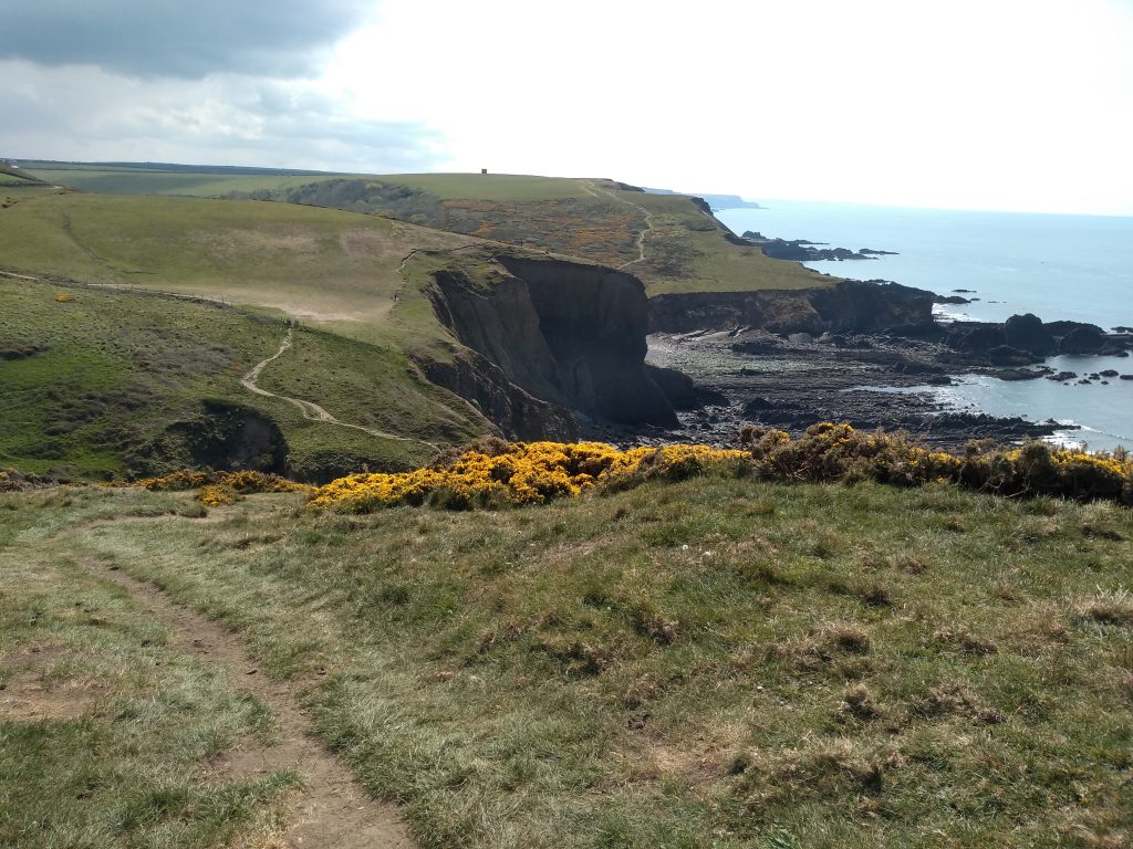
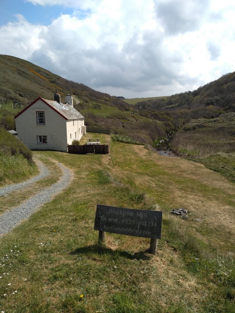
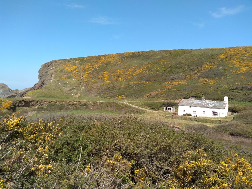
The next valley is Blegberry where another small river tumbles over the cliff. It is crossed by an ancient stone bridge and the path climbs steeply. Continue along the coast path until it descends to a cottage called Blackpool Mill. This is a holiday cottage which can be rented and it featured in the recent popular television series called “The Night Manager”. This building was originally the abbey mill, dating from at least the sixteenth century and was working up until the 1820s. Access to the beach here is easy, but it is all pebbles and rocks and unsuitable for swimming.
Follow the path inland around the back of the cottage and stop to have a look at its roof. It looks so old and seems to have had numerous repairs, but presumably it does not leak. The path to the left leads to Stoke and the church, through some delightful bluebell woods. However, to reach Hartland Quay, bear right towards the cliffs and up another incline which used to be called Warren cliff. In the olden days, rabbits were encouraged here as they provided a valuable source of food for the inhabitants of Hartland Abbey.
This is the view towards Hartland Quay where refreshments can be found. There was once a quay which dated back to 1586 when its building was authorised by an Act of Parliament. Cargoes of lime, coal and timber were unloaded here and in 1616 lead was brought in for repairs to the church roof. The quay kept in good repair until 1887 when it was breached and the last cargo was landed in 1893. Once it was abandoned, it was soon destroyed by the sea. The small port used to support a community of limeburners, mariners, and fisherman. It also had an inn and even a bank which printed its own money.
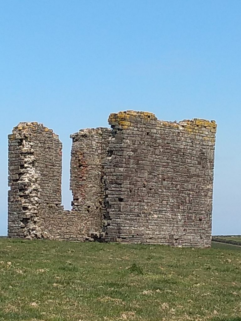
The stone ruin on the top of the hill above Hartland Quay is believed to have been built as a focal point or folly by the owners of the Abbey. It is believed to date from around 1730, but it’s purpose is unknown.
The walk down to Hartland Quay is a detour from this walk and it is a steep climb back up. However, to continue the walk, turn left inland past “The Rocket House” and walk along the road to some picturesque cottages. There is a “secret” path between the houses and the hedge with some interesting stone stiles. This path will take you back to the church.
0 Comments