There are so many lovely walks in Devon and Cornwall that it’s difficult to pick a favourite, but this is definitely one of mine. The walk is around 6 miles long and there are a couple of steep inclines, but generally not too demanding. The scenery for the entire walk is breath-taking, with the welcome opportunity for refreshment and a rest along the way.
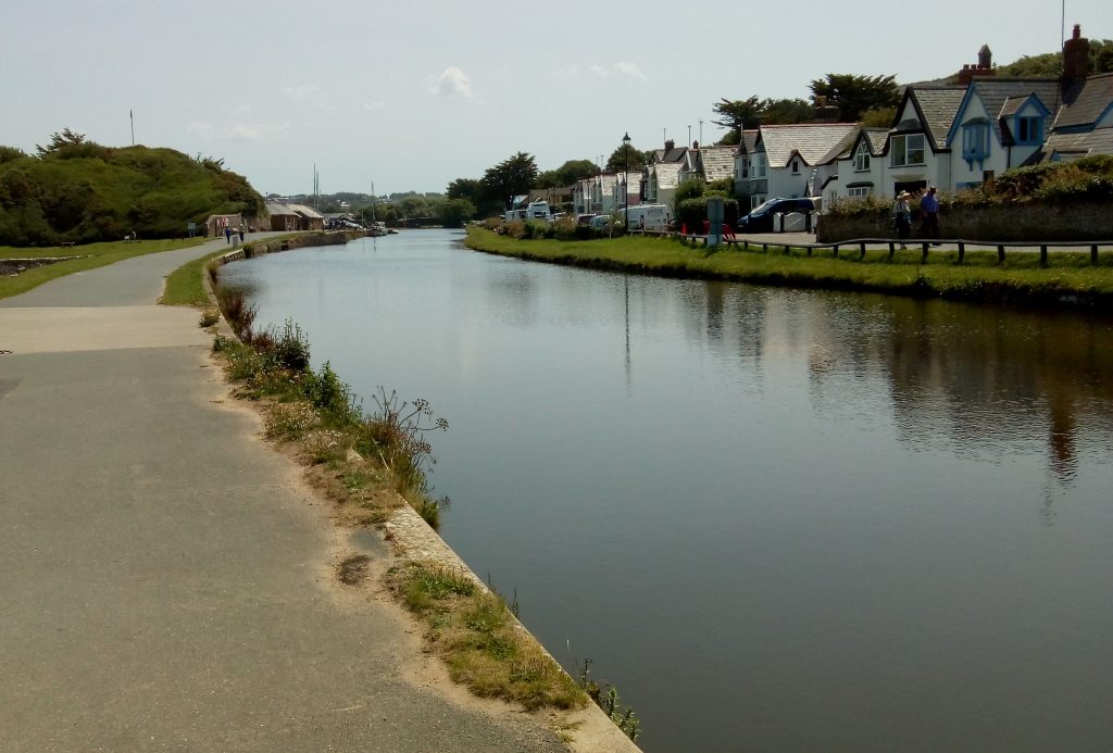
The walk begins at the canal, adjacent to the Bude Tourist Information Centre car park. It is probably best to park for at least three hours to be on the safe side and maybe longer if you intend to eat along the way. Walk inland along the tow path with the canal on your right.
This is a pleasant part of the walk where you will usually see plenty of ducks and moorhens, and quite often a heron or two. On your left you will pass the Bude marshes.
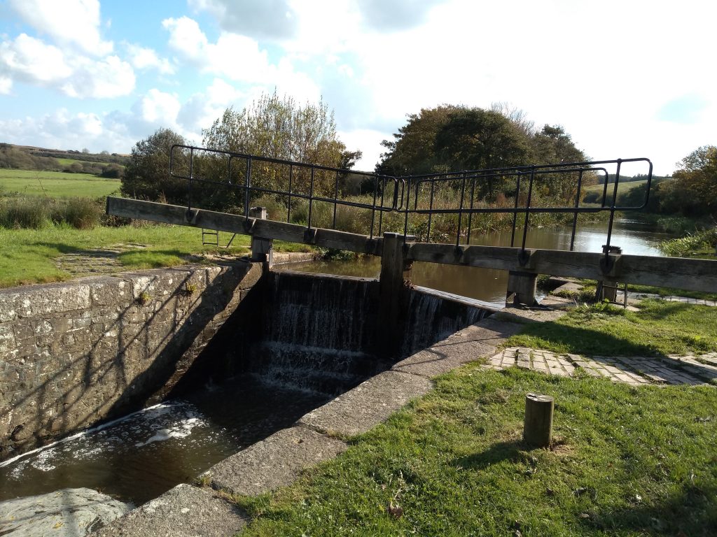
Continue along the canal bank until you cross a bridge and the water is now on your left. Eventually you will pass a lock gate and weir where the canal widens and deepens.
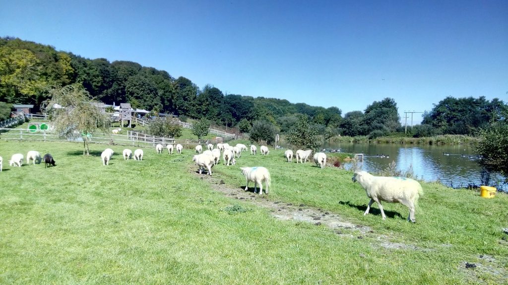
You will see a lake in front of the Weir Café where you might like to stop for some refreshment. It is a pleasant spot to sit outside and watch the wildlife on the pond.
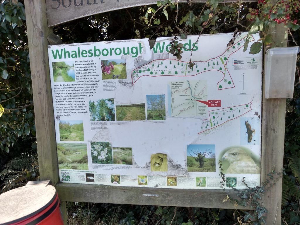
If you are giving the café a miss, turn left near a notice board providing information about Whalesborough Woods, and proceed through a gateway and into the fields.
Once through the gate follow the path up the hill and head for the gate in the opposite hedge.
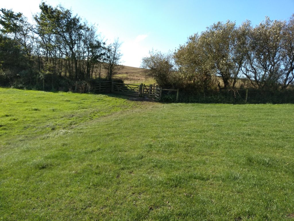
Continue on across another three fields with extensive views of Widemouth Bay.
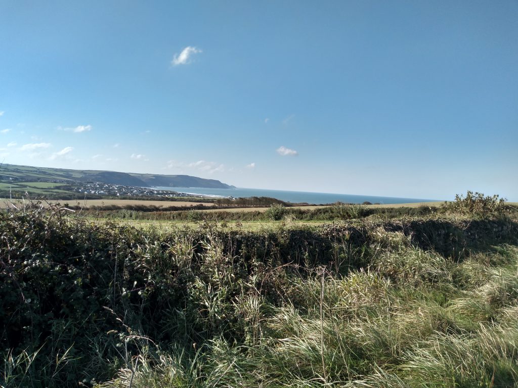
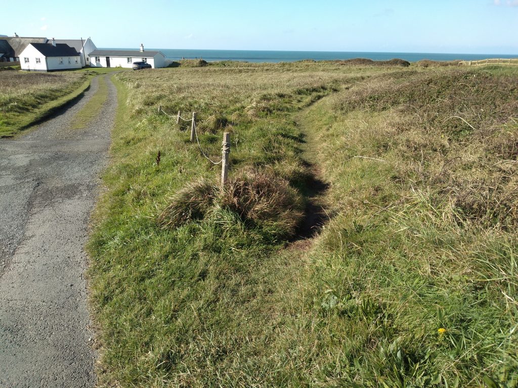
At the far side of the last field you will find yourself at the roadside. If you wish to visit Widemouth Bay and possibly enjoy some refreshments there, turn left and make your way a short distance along the road. Otherwise, cross the main road with care and bear right along the grassy track and join the South West Coast Path. Continue with the sea on your left and make sure you keep to the path as the cliff edges are dangerously undermined.
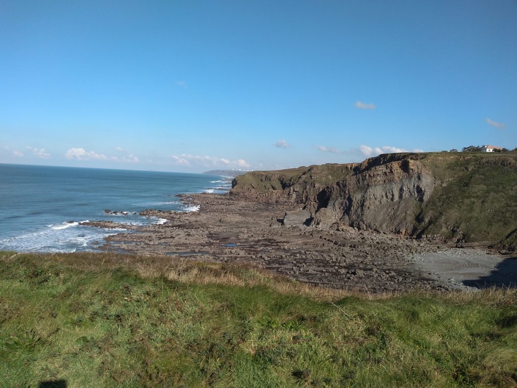
You will be able to see the large satellite dishes at GCHQ Cleave Camp near Morwenstowe in the distance.
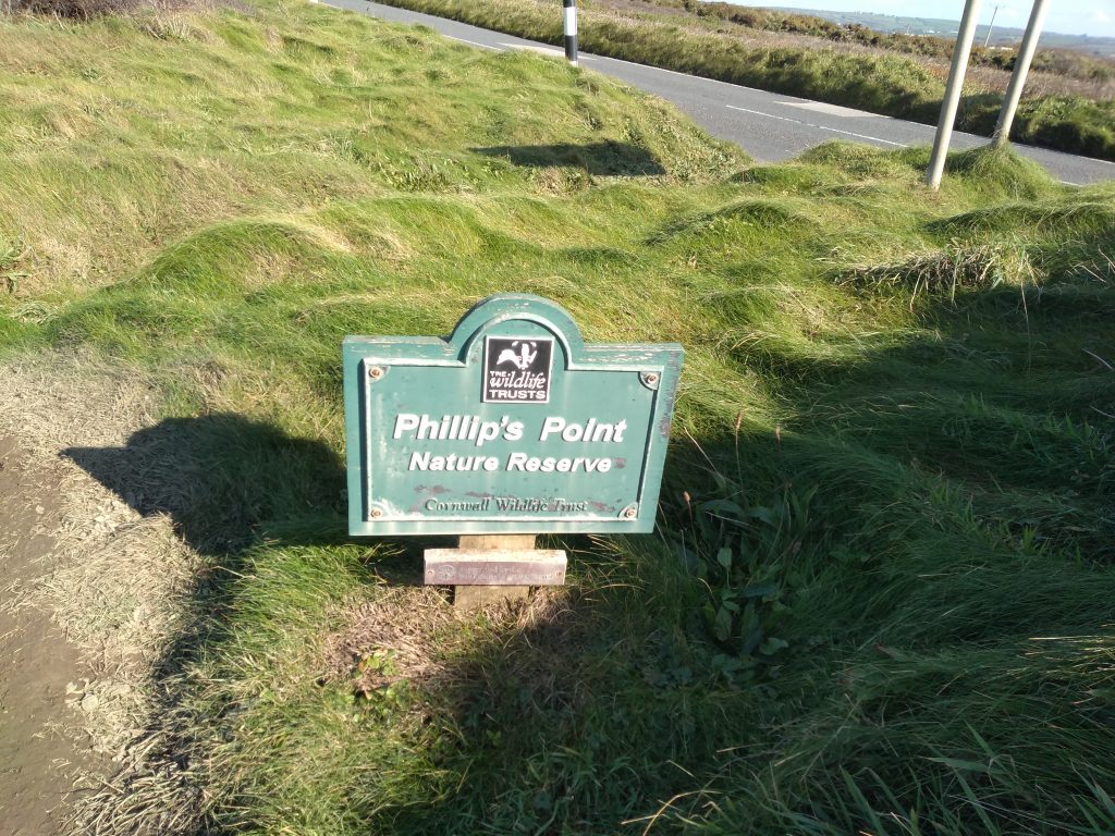
Continue along the path until you begin a gentle descent to Phillip’s Point Nature Reserve. The path runs along adjacent to the main road and used to take a left hand turn out towards the cliff tops. However, erosion has caused a diversion and you will be directed out onto the pavement for a short detour, before once more making your way across the cliffs where you will enjoy a lovely view of Bude in the distance.
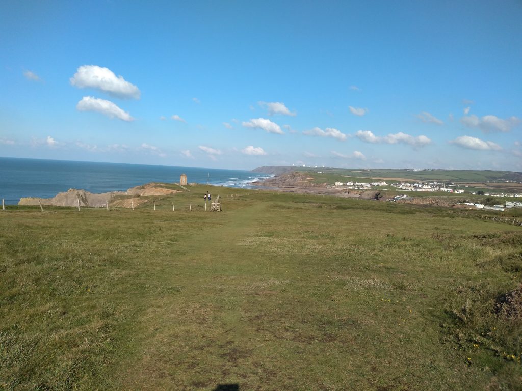
Continue downhill and follow the path to the octagonal Storm Tower. The tower was built in 1835 as a refuge for the coastguard, but was also ornamental.
Proceed downhill and turn right along the path towards the town centre.
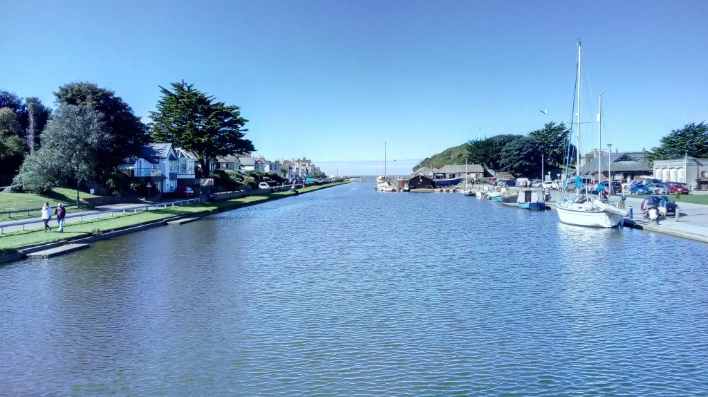
Here you will find several craft workshops, cafes and shops. Cross the road bridge to return to the car park.
0 Comments