This is a circular walk from Landkey Church to Swimbridge and back. The total walk is around six or seven miles, but the distance can easily be reduced by taking alternative routes. The walk starts near the telephone box and the old mounting block near the church, where there is plenty of room for parking. In the olden days passengers used to board the stagecoach to Taunton using these steps.
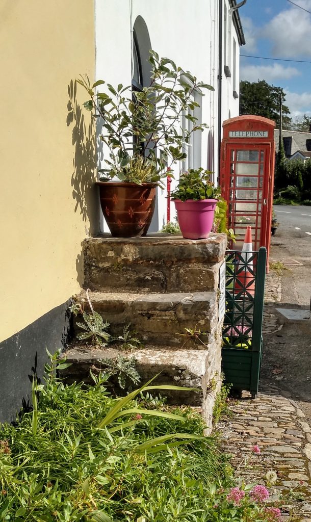
Left: The old mounting block
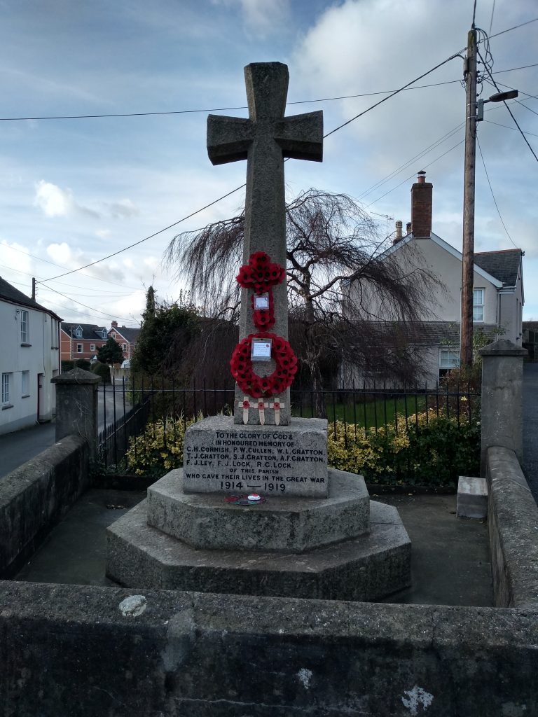
Above: Landkey War Memorial
Heading away from the church, proceed along Manor Road, ignoring the left hand turn to Vicarage Lane. The road takes you past the old Landkey Primary School which is now used as a pre-school. Continue along Manor Road until you come to the war memorial and the junction to the main road through the village.
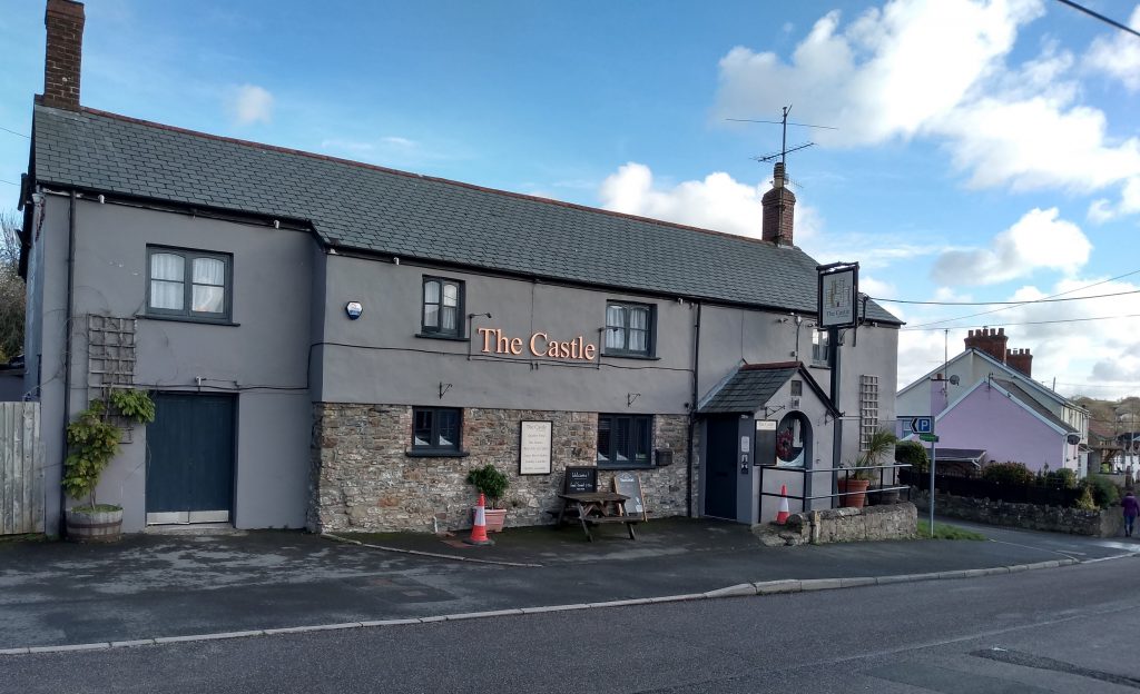
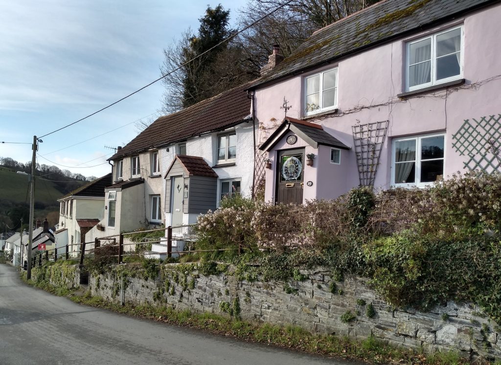
At the war memorial bear right and continue past the village shop, and on through the village. After a few hundred yards, The Castle Inn can be seen on the left hand side of the road, directly opposite the Village Hall. Continue down the road to Landkey bridge and on up the hill towards Swimbridge.
Once you pass the last row of cottages on your left, there is no pavement. The road is nowhere near as busy as it used to be, since the A361 link road was built, however care does need to be taken. Fortunately the road is a good width and there are grass verges and several laybys which can be used.
It is not far along this main road until you come to a turning on the left signposted to West Buckland. This is a quieter lane, but care is still required as the noise from the A361 makes it difficult to hear oncoming traffic. Continue along the lane until you come to a junction and then turn right towards Swimbridge. On your right towering above you is a large hill called Hooda Hill. It has become a tradition for the last forty years or more, for people from the village, to take part in a Good Friday procession from St James Church to the top of Hooda Hill, where a cross is erected.
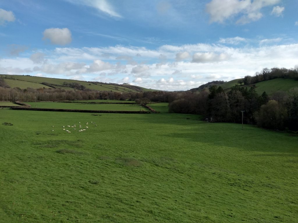
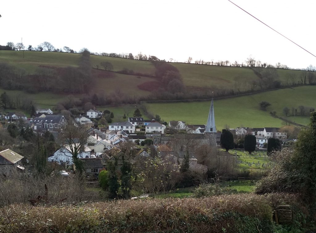
There are beautiful views to the left as you proceed down the hill towards the village.
Station Hill is a very old part of Swimbridge. In the 1970s, my husband and I lived in a small cottage near the bottom of the hill. It had very thick walls and I believe dated back at least 300 years.
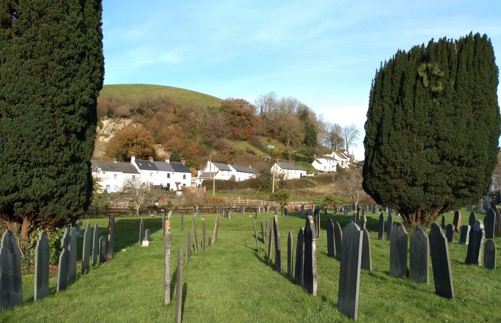
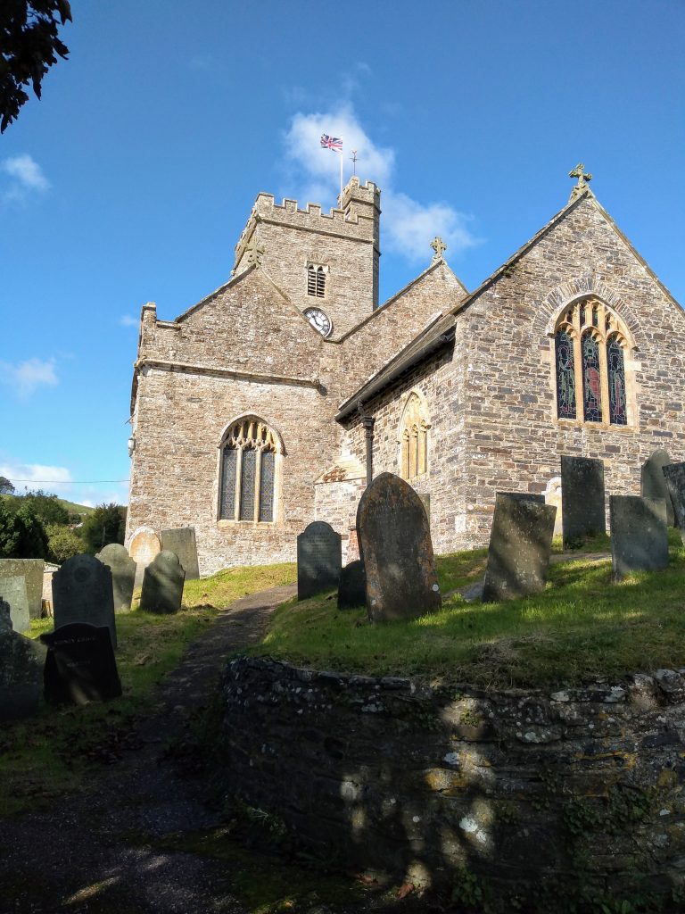
As you proceed down the steep hill there are lovely views to the left over the village and at the centre, St James Church. Near the bottom of the hill you can see the village allotments.
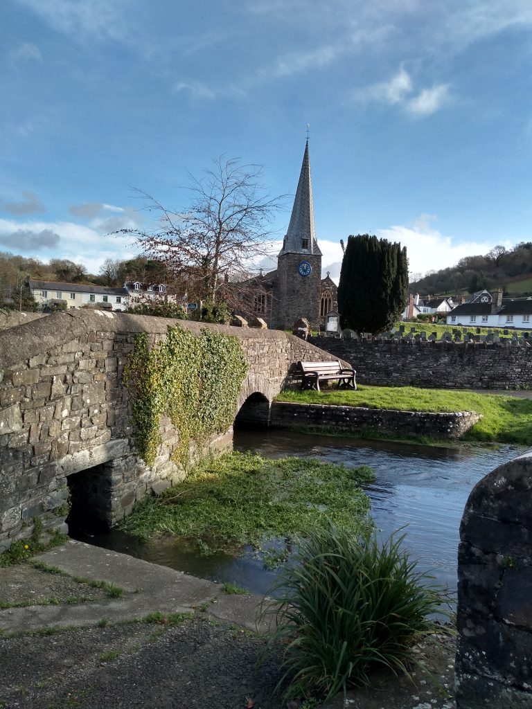
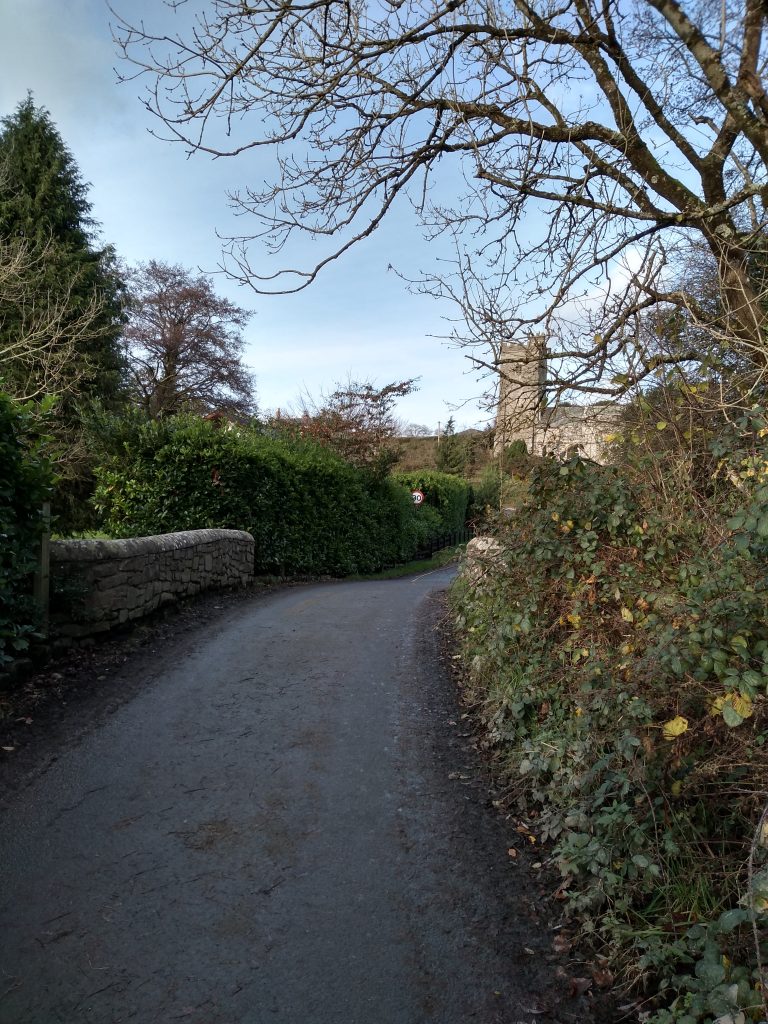
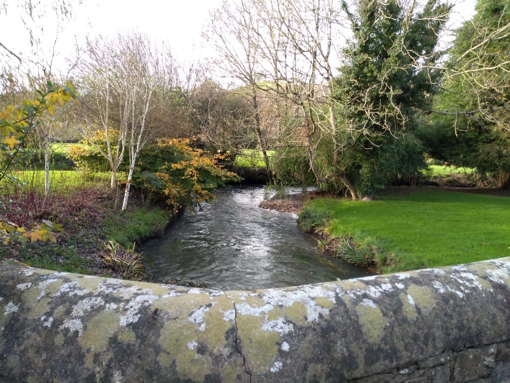
At the bottom of Station Hill bear left towards the stream, and crossing the bridge, turn left into the churchyard.
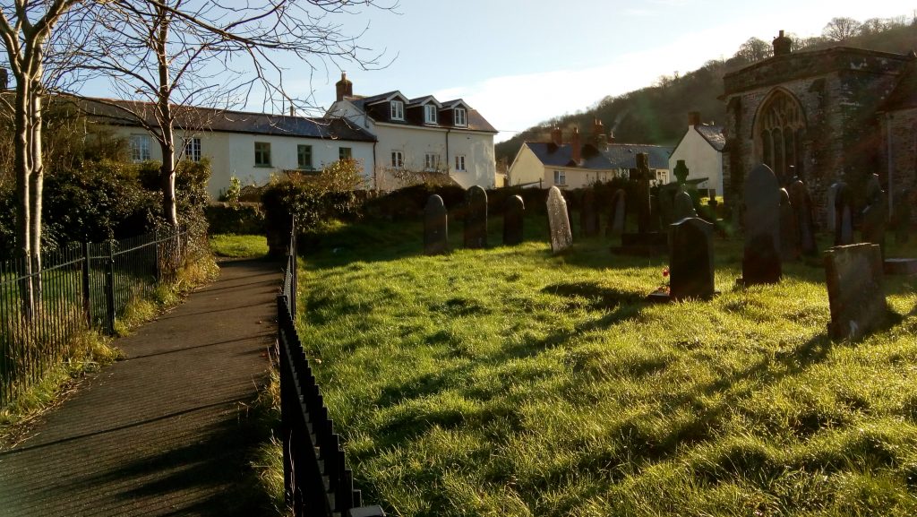
The path takes you past a row of cottages and out of the churchyard and into a lane. Turn right towards the main road. On your right you will see the old school rooms which are now used as a pre-school. This is a very old building constructed of stone and cob.
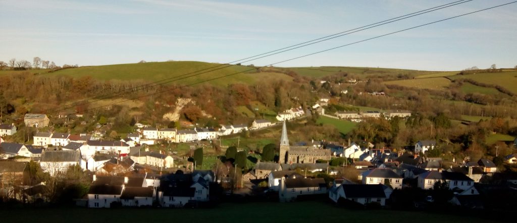
Continue to the main road and turn to the right for a short detour. Pause a moment to look at the church on your left. If you enter the church gates there is a lovely view of Station Hill with Hooda Hill in the background.
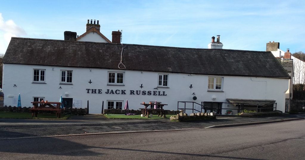
Just opposite the church gates is The Jack Russell Inn. The village was the home of the Reverend John “Jack” Russell who first bred the Jack Russell Terrier. John Russell died in 1883 and is buried in the graveyard of St James Church. The village pub is named after him.
If a shorter walk is required, turn left by the inn and continue along this road towards Landkey. This route will rejoin the longer walk further on.
To continue the main walk retrace your steps, away from the inn, and take the next turning right into a lane which rises steeply uphill, and is signposted to Dennington. It is worth climbing the hill for the wonderful views of Swimbridge and the surrounding countryside which can be seen from the top.
At the top of the hill, turn right towards Hannaford. On the way you will pass a turning on your right which is the lane that leads from the Jack Russell Inn mentioned earlier as a shorter route.
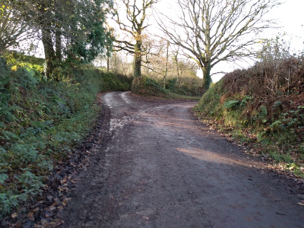
Eventually you will come to a crossroads called Stony Lane End where you continue on towards Landkey Town. After a short distance you will come to a choice or routes. Take the right hand lane.
Continue to the next crossroads which is called Venn Lane End and turn right towards Landkey Town. Walk down the hill until you come to a small bridge across the stream. From here you can see St Paul’s Church in Landkey.
Make your way towards the church and turn right.
Keep to the left hand side of the road and proceed up a path with railings and which will take you onto the cobbled causeway which leads to the telephone box where the walk began.
That’s brilliant. Thank you so much for describing this so clearly. I will be following in your footsteps for sure. It’s so nice to get a decent walk direct from your door.
Rita
Thanks Rita, nice of you to say so. Hope you enjoy your walk.